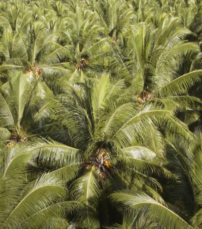
Indicative only. This is a schematic drawn from published land-use figures (about 400 ha in 2016: 220 ha coconuts, 100 ha open pasture, 30 ha coffee and cocoa, 4 ha roots, tubers and kava).[1] Hotspot positions are not surveyed and should be replaced with VARTC's own site plan [TO CONFIRM].
Hotspots
On the real map
One sourced, station-level point: 15.4444° S, 167.1913° E — the coordinates published for the Cocoflux research site in the VARTC coconut plantation.[8] CIRAD papers give 15°27′S, 167°12′E, about 11 km north of Luganville on the east coast of Espiritu Santo.[9]
Open in OpenStreetMap ↗The live map needs an internet connection. Saraoutou is about 11 km north of Luganville on the east coast of Espiritu Santo. Open OpenStreetMap ↗
Map data © OpenStreetMap contributors · Leaflet (BSD-2).
Sources on this page
Markers [n] refer to these.
- VARTC website, Location (2016)
- VARTC website, Coconut Section (2016)
- VARTC website, Livestock Section (2016)
- VARTC website, Horticulture Section (2016)
- Dept of Climate Change (DoCC), May 2026 — CFF monitoring visit
- SPC, Aug 2023 — Seed champions in Vanuatu
- VARTC website, History (2016)
- ICOS — Cocoflux station VU-Coc (Saraoutou coconut plantation)
- Labouisse, Sileye & Hamelin 2007 — New observations on the resistance of coconut cultivars to tropical cyclones in Vanuatu (CORD)